
England & Wales
Norfolk Maps
( Page 2 of 3 )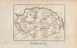
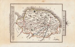
Robert Butters 1803
John Cary 1809
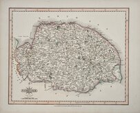
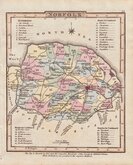
George Cole 1810 [1835]
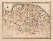
Sidney Hall 1818
George & John Cary 1822
Charles Cooke 1822
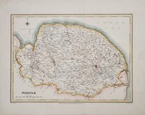
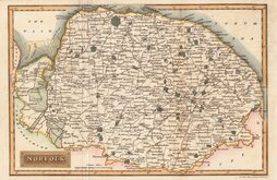
Roger Creighton 1831
Roger Creighton 1831 [1840]


33x24 cm
FIRST EDITION
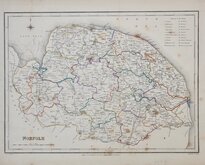
NORFOLK
Drawn by R.Creighton. | Engraved by J & C. Walker.
DRAWN AND ENGRAVED FOR LEWIS' TOPOGRAPHICAL DICTIONARY.
Copper engraving, by John and Charles Walker from a drawing by Roger Creighton issued in A Topographical dictionary of England… published by Samuel Lewis and Co. from 1831. The work achieved considerable success and was re-issued many times by Lewis until 1849. During this time the maps were amended and updated to include electoral information and the rapidly expanding railway network, with most counties known in at least six different states.
Fine example in fine hand colour from the first edition of 1831 without the amendments made to the plate to show the provisions of the Reform act of 1832 with the county divided into administrative units.
Fold as usual, good margins, heavy paper.
Ref. Printed Maps of Norfolk Raymond Frostick [105.1]
Quick Links


Cambridgeshire Maps

Owen & Bowen
×