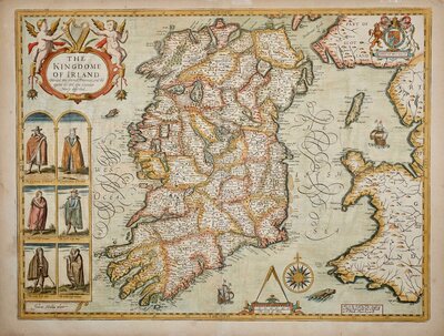
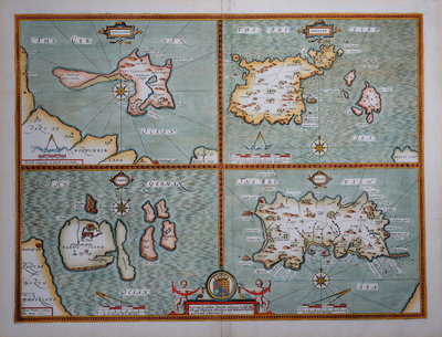
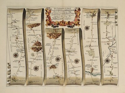
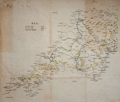
Maps of the whole of Britain the British Isles.
Maps of the British Isles. The thirteen subcategories are: Whole of Britain, England & Wales, English Counties, Wales, Scotland, Ireland, British Islands, Regional, Ordnance survey & Estate Plans, Road Maps, Town Plans, London, Waterways & Railways, Folding maps.
Maps of the Channel Islands, Isle of Man, Isle of Wight, Scottish Islands and Other British Islands.
Regional maps and parts of England a & Wales including maps of environs and sectional maps by surveyors and publishers other than Ordnance Survey.
Maps within the British Isles issued as a folding map. Not including folding maps of other parts of the world which are listed with sheet maps in their country headings.