
Road Maps
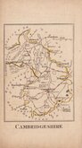
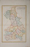
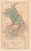
Cambridgeshire Maps
( Page 2 of 4 )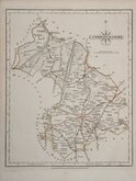
John Cary 1787 [1793]
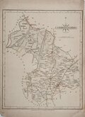
John Cary 1787 [1793]
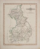
John Cary 1787 [1809]
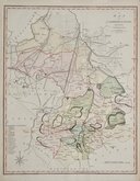
John Cary 1789 [1805]
Benjamin Baker 1791
Robert Butters 1803
Charles Mason 1808
Henry Cooper 1808


21x27 cm
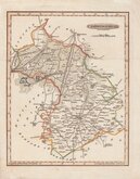
CARY'S QUARTO SERIES. FIRST PLATE FIFTH EDITION.
CAMBRIDGESHIRE
By JOHN CARY Engraver.
London: Publish'd Jan.y 1. 1793 by J.Cary Engraver & Map-seller, Strand.
Copper engraving by John Cary. This series of maps, commonly known as his "quarto" series, were published in Cary's New and Correct English Atlas and were justifiably popular, running to many editions from 1787 until about 1804. Re-engraved plates extended the life of the series from 1808 to 1843 and lithographic transfers from the plates by later publishers continued publication until about 1876 - a life of nearly 90 years.
Good example in original outline hand colour from the 5th edition of 1793.
Quick Links


Town Plans
Cambridgeshire Prints
×