
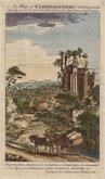
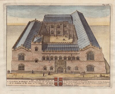
Cambridgeshire Prints
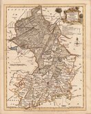
Cambridgeshire Maps
( Page 1 of 4 )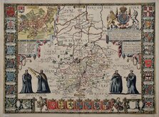
John Speed 1611
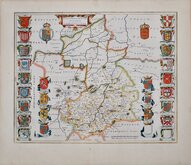
Jan Blaeu 1645
Robert Morden 1696 [1753]
Emanuel Bowen 1720
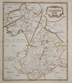
Thomas Read 1743 [1769]

Thomas Kitchin 1750 [1786]
George Bickham 1752
Joseph Ellis 1765


41x52 cm
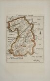
"CARY STOCKDALE"
A MAP of CAMBRIDGESHIRE from the best AUTHORITIES Published by John Stockdale Piccadilly 26th. March 1805. Engraved by J. Cary.
John Cary was a prolific engraver and publisher of maps and set new standards of quality and accuracy with his productions but little is known of the man himself. Born in Wiltshire in 1754, the second of four sons to George Cary, he served an apprenticeship to engraver William Palmer from 177-1777. The first map to bear his name is a canal map of 1779. His brothers were also involved in cartography and engraving, Francis being apprenticed to engraver James Taylor and William serving with Jesse Ramsden, the renowned instrument maker. His older brother, George, joined him as a partner in 1820 and publication of maps began under the firm of G. and J. Cary.
This series of maps were first issued in parts by T. Payne & Son, and G.G.J. & J. Robinson for Richard Gough's translation of William Camden's Britannia, the completed work being published in 1789. Following the death of Payne, the Robinson family sold the plates and publication rights to John Stockdale. Richard Gough was reportedly annoyed with the new arrangements and refused to work on the new edition and Stockdale completed the editorial work himself, expanding the work to four folio volumes and publishing them in 1806. Stockdale also used the plates in his New British Atlas from 1805 to 1809.
This Cambridgeshire map is from the Stockdale edition of 1805 in original hand colour. Two horizontal folds as issued, a couple of printers handling marks on the left of the map and some archival tape repairs to a few edge nicks verso but still a good clean map in full original hand colour.
Quick Links

Road Maps

Town Plans
×