
Historical Maps
World Maps and Charts
( Page 1 of 4 )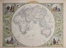
John Tallis Pair of Maps 1851
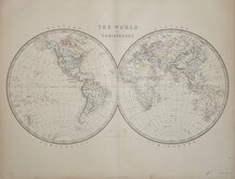
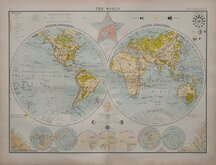
Keith Johnston 1869
Keith Johnston 1869
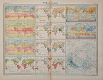
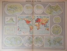
World Climate Bartholomew 1922
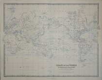
Bartholomew Twin Hemisphere 1898
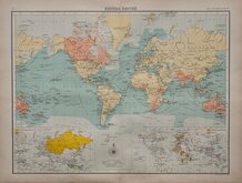
British Empire Bartholomew 1898
John Bartholomew 1922
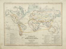
Petermann Mammals 1854


36x26 cm
(THE) WORLD ON MERCATOR'S PROJECTION
Steel engraved map by John Rapkin first published in parts from the end of the 1840's and issued as a complete volume, The Illustrated Atlas in 1851. The work was re-issued a number of times until about 1865 and the maps were then used by Montgomery Martin, the author of the text in the Illustrated Atlas, in his British Colonies from 1854. The final appearance of the maps, with vignettes erased from the plate, were in geographical dictionaries and encyclopaedias until about 1880.
This map of the World on Mercators projection was published in The Illustrated Atlas of 1851.
Vignettes of Vesuvius, Gibraltar, Pyramids if Giza, London, Constantinople, Niagara Falls, Pont Neuf Paris.
In original colour without centrefold but with many faults: Frayed at edges, stained and grubby, loss of imprints at bottom of map with several short tears into the decorative border, loss of "The" at top title.
Includes original page of typeset text by Montgomery Martin.
Quick Links

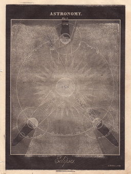
Celestial
Atlantic & Poles
×