
Atlantic & Poles
World Maps and Charts
( Page 1 of 4 )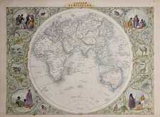
John Tallis Pair of Maps 1851
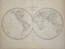
Keith Johnston 1869
Keith Johnston 1869
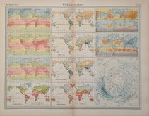
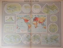
World Climate Bartholomew 1922
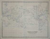
Bartholomew Twin Hemisphere 1898
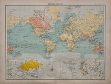
British Empire Bartholomew 1898
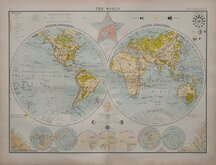
John Bartholomew 1922
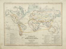
Petermann Mammals 1854


47x32 cm
PHYSICAL MAP OF THE WORLD BY J. BARTHOLOMEW, F.R.G.S. SHOWING RELIEF OF LAND & OCEAN CURRENTS | WESTERN HEMISPHERE | EASTERN HEMISPHERE | NORTHERN HEMISPHERE | LAND HEMISPHER | SOUTHERN HEMISPHERE | THE WORLD berghaus's Star Projection | WATER HEMISPHERE
Colour printed lithograph by John Bartholomew produced for The Edinburg Geographical Institute and published in Bartholomew's The English Imperial Atlas and Gazetteer of the World by T. Nelson & Sons, Paternoster Row, Edinburgh and New York. (1892)
Repaired tear to bottom margin outside printed area.
Quick Links
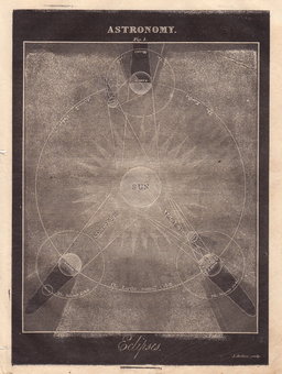
Celestial

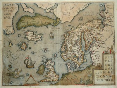
Historical Maps
×