
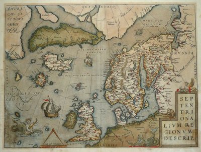
Atlantic & Poles
World Maps and Charts
( Page 1 of 4 )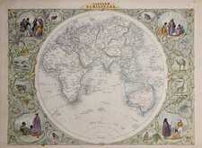
John Tallis Pair of Maps 1851
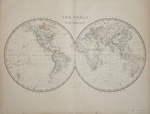
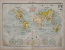
Keith Johnston 1869
Keith Johnston 1869
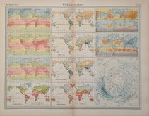
World Climate Bartholomew 1922
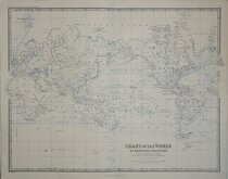
Bartholomew Twin Hemisphere 1898
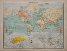
British Empire Bartholomew 1898
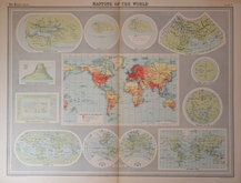
John Bartholomew 1922
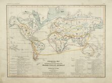
Petermann Mammals 1854

£5 Comparative Chart Rivers and Mountains
Ref: 6021.30
Add to
basket
Thanks,Your Product Has Been Added To Basket

17x24 cm
THE GUIDE TO KNOWLEDGE
EDITED BY MR. W. PINNOCK,
AUTHOR OF "PINNOCKS CATESCHISMS," "GRAMMAR OF GEOGRAPHY AND HISTORY," ETC., ETC.
No. XXX.] SATURDAY, DECEMBER 15, 1832. PRICE ONE PENNY.
COMPARATIVE CHART OF THE PRINCIPAL RIVERS AND MOUNTAINS.
William Pinnock (1782-1843), born in Alton, Hampshire became a schoolmaster. In 1817 he moved to London and, in partnership with Samuel Maunder, began the publication of cheap educational works. The Guide to Knowledge was a publication issued in weekly parts between 1833 and 1834 and containing maps printed from the woodblock with the incised lines appearing white on a black ground. The technique proved unpopular for topographical maps and was not used again, the county maps appearing again in a more traditional format by lithographic transfer Johnson's Atlas of England in 1847 & 1863.
Typeset text verso listing 150 mountains (of 183 shown on the engraving) with their continent and height.
Paper edges a little chipped and fragile.
Quick Links
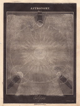
Celestial

Historical Maps
×