
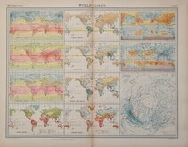

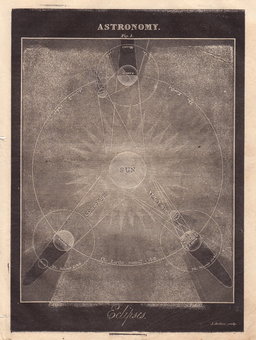
Celestial
Quick Links
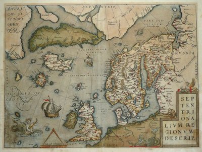
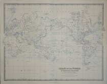
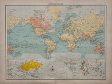
Atlantic & Poles

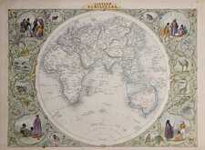
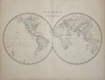
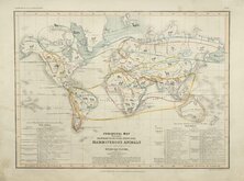
Historical Maps
×