
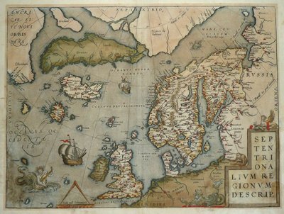
Atlantic & Poles
World Maps and Charts
( Page 1 of 4 )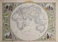
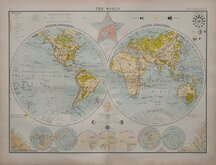
John Tallis Pair of Maps 1851
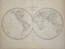
Keith Johnston 1869
Keith Johnston 1869
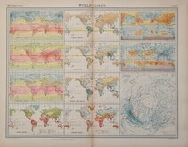
World Climate Bartholomew 1922
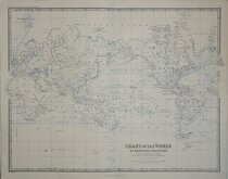
Bartholomew Twin Hemisphere 1898
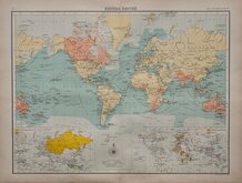
British Empire Bartholomew 1898
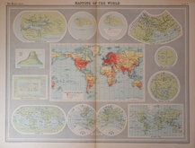
John Bartholomew 1922
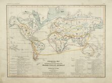
Petermann Mammals 1854


£30 Charts of Mountains and Rivers
Ref: dsm58
Add to
basket
Thanks,Your Product Has Been Added To Basket
Table | of the | COMPARATIVE HEIGHTS | of the | PRINCIPAL MOUNTAINS | in the | World. | Compiled & Drawn in the Quarter Master Generals Department. | BY JAMES WYLD.
(And, printed from a separate plate on the same page);
Table | of the | COMPARATIVE LENGTHS | of the | PRINCIPAL RIVERS | in the | World. | Compiled & Drawn in the Quarter Master Generals Department. BY JAMES WYLD.
(Both with imprint below which reads):
LONDON Published by JAS. WYLD. (Successor to Mr. Faden), Geographer to the Queen Charing Cross. East.
Copper engraving published in An Atlas of the World, Comprehending Separate Maps of its various Coutries, Constructed & drawn from the latest Astronomical & Geographical observations. By James Wyld, Geographer to her Majesty and H. Late R.H.Prince Albert. London 1864.
Two plates printed on the same page each 30x23cm.
Hand coloured. Heavy paper, Good condition.
Quick Links
Celestial

Historical Maps
×