
Gloucestershire Maps
Somerset Maps
( Page 1 of 3 )
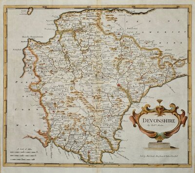
Robert Morden 1695 [1753]
Thomas Kitchin 1749 [1769]
Thomas Kitchin 1763
Thomas Kitchin 1763
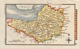
John Cary 1787 [1793]
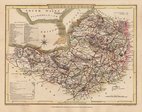
George Cole 1810
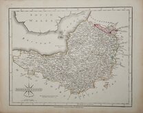
Sidney Hall 1820
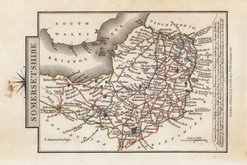
George & John Cary 1822


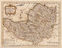
12x7 cm
COLOURFUL MINIATURE MAP
SOMERSETSHIRE.
Pub. by S. Leigh 18, Strand. | Sid.y Hall sculp.t
Miniature map engraved by Sidney Hall and first published by Samuel Leigh in Leigh's New Pocket Atlas of England and Wales in 1820. The demand for pocket atlases for the traveller was high during the first half of the 19th century and this little atlas, Samuel Leigh's only cartographic work, was very popular, running to ten editions with publications continued after his death by his widow and then his son until 1839. The plates were then acquired by George Biggs who published them a number of times until 1843.
Title and imprint engraved sideways.
Very good hand coloured example with the plate in the first state (imprint 18, Strand) published between 1820 and 1831.
Ref. Chubb Printed Maps of Somerset. p.94.
Quick Links


Dorset Maps
Devon Maps
×