
Gloucestershire Maps
Somerset Maps
( Page 1 of 3 )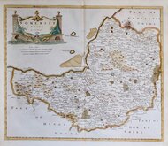
Robert Morden 1695 [1753]
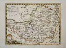
Thomas Kitchin 1749 [1769]
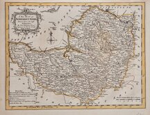
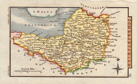
Thomas Kitchin 1763
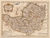
Thomas Kitchin 1763
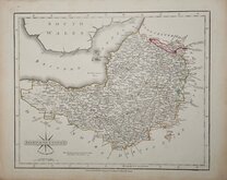
John Cary 1787 [1793]
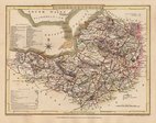
George Cole 1810
Sidney Hall 1820
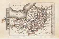
George & John Cary 1822


15x10 cm
CARY'S MINIATURE SERIES
SOMERSETSHIRE.
London. Published by G.& J. Cary N.o 86 S.t James's Str.
This is a re-engraved and revised version of of the map issued by John Cary in 1806 which in turn, was a re-engraved version of his 1789 map. All were issued under the title of Cary's Traveller's Companion, a highly successful work necessitating the re-engraving of worn plates to continue publication. This version, published with his brother, George, between 1822 and 1828, is the only version with place names on the map engraved to read with North at the top, the title and imprint therefore being engraved sideways.
Old ink mark on the north point and some finger marking to right margin otherwise a good example in original hand colour.
Ref. Chubb Printed Maps of Somerset p.89
Chubb lists the map but states. "I have not seen this edition.." he correctly notes the revised imprint, presumably from correspondence from Cambridge University Library who he lists as holding a copy, but the major change of the re-engraving of the map with title and imprint side-ways is not noted.
Quick Links

Devon Maps

Dorset Maps
×