
Devon Maps
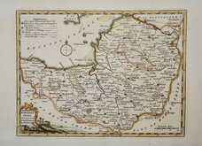
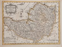
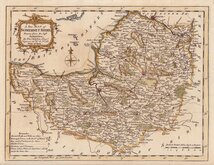
Somerset Maps
( Page 1 of 3 )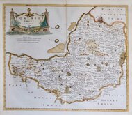
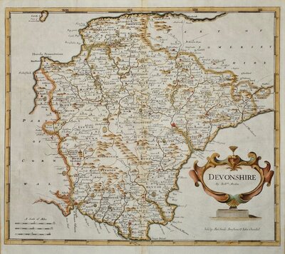
Robert Morden 1695 [1753]
Thomas Kitchin 1749 [1769]
Thomas Kitchin 1763
Thomas Kitchin 1763
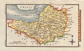
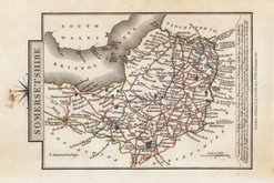
John Cary 1787 [1793]
George Cole 1810
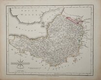
Sidney Hall 1820
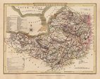
George & John Cary 1822


27x22 cm
CARY'S "QUARTO SERIES
SOMERSETSHIRE
By JOHN CARY Engraver.
London: Publish'd Jan.y1.st1793 by J.Cary Engraver & Map-seller Strand.
Copper engraving by John Cary. This series of maps, commonly known as his "quarto" series, were published in Cary's New and Correct English Atlas and were justifiably popular, running to many editions from 1787 until about 1804. Re-engraved plates extended the life of the series from 1808 to 1843 and lithographic transfers from the plates by later publishers continued publication until about 1876 - a life of nearly 90 years.
Final state of the plate published in Cary's New and Correct English Atlas... London 1793. Original hand colour but with later red line to the roads from Bath to Bristol.
Includes original page of typeset text description of the county with some near contemporary manuscript notes of the residents on the list of gentleman's seats.
Ref. Cubb Maps of Somerset p.67
Quick Links

Gloucestershire Maps

Dorset Maps
×