
Devon Maps
Somerset Maps
( Page 1 of 3 )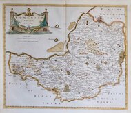
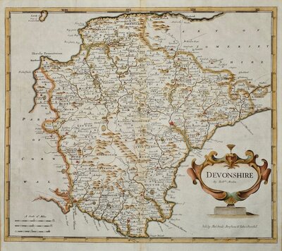
Robert Morden 1695 [1753]
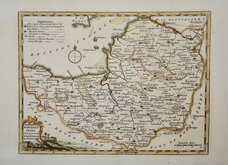
Thomas Kitchin 1749 [1769]
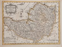
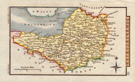
Thomas Kitchin 1763
Thomas Kitchin 1763
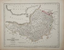
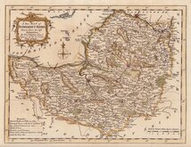
John Cary 1787 [1793]
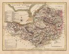
George Cole 1810
Sidney Hall 1820
George & John Cary 1822


24x19 cm
EARLY STEEL ENGRAVING. NEAT HAND COLOUR.
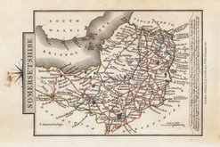
SOMERSETSHIRE
Pub.d by Arch.d Fullarton & C.o
Steel engraving by Gray & Son first published in Bell's New and Comprehensive Gazetteer in 1833. The text for the gazetteer was largely copied from Lewis' Topographical Dictionary of 1831 and in 1839 Lewis obtained an injunction against Bell for plagiarism and the work was withdrawn. Archibald Fullarton, the publisher of Bell's Gazetteer republished the maps with new text in The Parliamentary Gazetteer from 1840 until 1849. Most of the maps were also copied from the maps by Sidney Hall prepared for John Gorton's Topographical Dictionary of Great Britain and Ireland published in 1831 as a rival to Lewis' work.
Good clean example of the map of Somerset in fine outline hand colour.
Ref. Chubb Printed Maps of Somerset. p.110.
Quick Links

Dorset Maps

Gloucestershire Maps
×