
Devon Maps
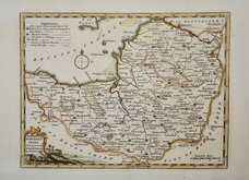
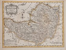
Somerset Maps
( Page 1 of 3 )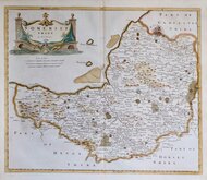
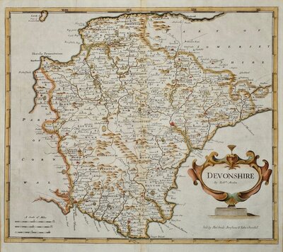
Robert Morden 1695 [1753]
Thomas Kitchin 1749 [1769]
Thomas Kitchin 1763
Thomas Kitchin 1763
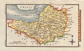
John Cary 1787 [1793]
George Cole 1810
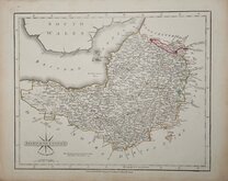
Sidney Hall 1820
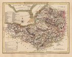
George & John Cary 1822


23x18 cm
OUTINE HAND COLOUR.
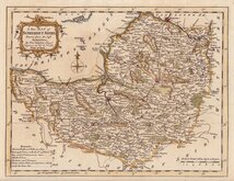
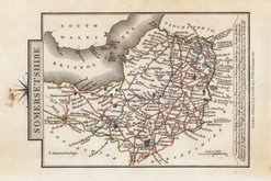
SOMERSETSHIRE
Drawn & Engraved by J. Archer, Pentonville, London.
First published in Curiosities of Great Britain, England and Wales Delineated…by Thomas Dugdale by L.Tallis in 1842. The work was re-issued a number of times until 1860. The maps also appeared in The Universal English Dictionary…by the Rev. James Barclay and finally in Tallis's topographical dictionary of England & Wales in 1860.
Joshua Archer (c.1792-1863), Engraver, cartographer and copperplate printer, was born in Barnstaple in Devon. His first recorded work as an engraver was a map of Scotland for Robert Wilkinson in 1814. He was declared bankrupt in 1835, imprisoned for debt in 1845 but recorded as a map and chart engraver aged 69, on the 1861 census, living in Islington with his wife, Jane, a son, John, also a map and chart engraver, Albert Archer, map and chart draughtsman, and his wife Elizabeth and three children.
This map of Somerset, with the addition of several railways, was published from 1843 to 1848 in Dugdales England and Wales Delineated.
Good example in original wash hand colour.
Ref. Chubb Printed Maps of Somerset p.118
Quick Links

Gloucestershire Maps

Dorset Maps
×