
Devon Maps
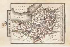
Somerset Maps
( Page 1 of 3 )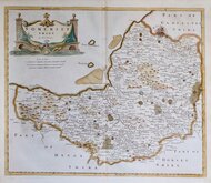
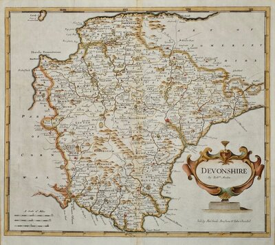
Robert Morden 1695 [1753]
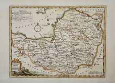
Thomas Kitchin 1749 [1769]
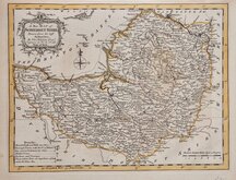
Thomas Kitchin 1763
Thomas Kitchin 1763
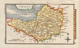
John Cary 1787 [1793]
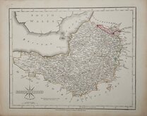
George Cole 1810
Sidney Hall 1820
George & John Cary 1822


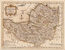
28x22 cm
LITHOGRAPH PRINTED COLOUR.
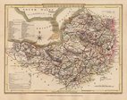
SOMERSET
F.S.Weller F.R.G.S.
WILLIAM MACKENZIE. LONDON, EDINBURGH & GLASGOW.
Lithograph printed map from an engraving by Francis Sidney Weller (son of mapmaker Edward Weller) published by William Mackenzie in The Comprehensive Gazetteer of England and Wales issued in parts from c.1891-1895. The plate from which the lithograph was taken was never used for direct intaglio printing. The map is based on the New Series One Inch Ordnance Survey and has been overprinted in colours showing the county divided into administrative units.
Ref. Chubb Printed Maps of Somerset. p.159.
Quick Links

Gloucestershire Maps

Dorset Maps
×