
Road Maps
Regional Maps
( Page 1 of 10 )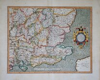
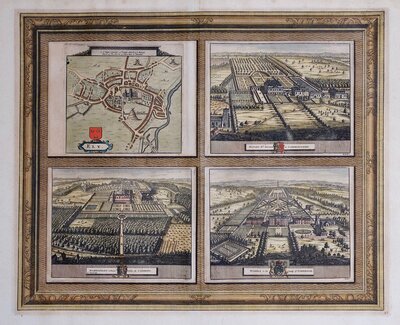
Gerard Mercator South East England 1630
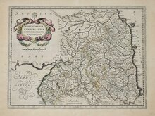
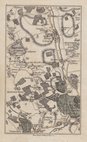
Cumberland Northumberland Durham 1639

Hertfordshire Part 1766
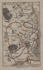
Essex Part Chapman and Andre 1777
Essex Part Chapman and Andre 1777
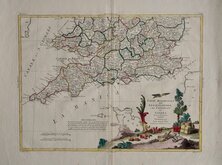
Southern Britain Zatta 1778
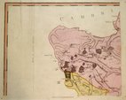
Kings Langley 1786
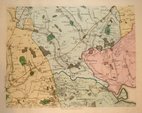
Barnet 1786


90x61 cm
Colour printed road map on 12 cards each 21x23cm printed both sides to show 24 sectional maps in clear plastic and leatherette wallet with key card and fold-out distance tables (51x38cm).
Extent: Newport to Wells and Andover to Lowestoft.
Scale: 4 milles = 1 inch.
Published by Geographia Ltd. 67 Fleet Street, London E.C.4. (January 1930)A couple of ink lines on sheets 8 and 12 and along route from Bedfield to Ipswich with circle round Bedfield but otherwise the set is clean and undamaged throughout.
Quick Links

Town Plans

Folding Maps
×