
Folding Maps
Regional Maps
( Page 1 of 10 )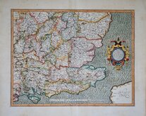
Gerard Mercator South East England 1630
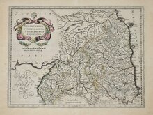
Cumberland Northumberland Durham 1639

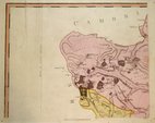
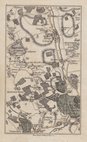
Hertfordshire Part 1766
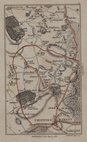
Essex Part Chapman and Andre 1777
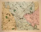
Essex Part Chapman and Andre 1777
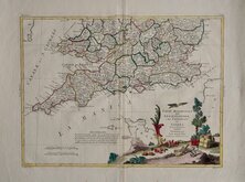
Southern Britain Zatta 1778
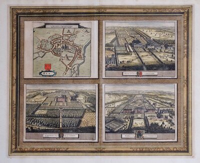
Kings Langley 1786
Barnet 1786


71x53 cm
Single sheet from the nine-sheet large scale map, A TOPOGRAPHICAL MAP OF HARTFORD-SHIRE, FROM AN ACTUAL SURVEY...by John Andrews and Andrew Dury published in 1766.
Showing the decorative dedication cartouche with hunting scene and the north west tips of the county containing Long Marston, Astrope, Puttenham, Gubblecote, Wilstone Green, Startop's End, Marsworth, and Dunstable, Kensworth, Caddington.
Quick Links


Road Maps
Town Plans
×