
Folding Maps
Regional Maps
( Page 1 of 10 )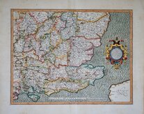
Gerard Mercator South East England 1630
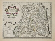
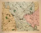
Cumberland Northumberland Durham 1639
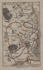
Hertfordshire Part 1766
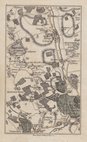
Essex Part Chapman and Andre 1777
Essex Part Chapman and Andre 1777
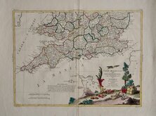
Southern Britain Zatta 1778
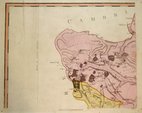
Kings Langley 1786
Barnet 1786

£160 Cumberland Northumberland Durham
Ref: 6440xg
Add to
basket
Thanks,Your Product Has Been Added To Basket

47x36 cm
NORTHUMBRIA, CUMBERLANDIA, ET DUNELMENSIS EPISCOPATUS.
Amstelodami Sumptibus Henrici Hondy.
Map of Northern England published from 1636 by Henricus Hondius and by Jan Jansson from 1638 to 1646. The map was first issued in 1595 by Rumold Mercator and attributed to his late father, Gerard Mercator, who died a year earlier. The plate has been re-worked for this edition, the shading in the sea has been erased from the plate, the title cartouche has been re-engraved to a new design and the imprint amended.
This example, with French text verso, is from the 1639 edition of Jansson's Atlas Novus.
A professional repair to a split at the bottom centrefold and some tears to the top margin are visible when held up to a backlight but it remains a good looking map in original hand colour.
Quick Links

Town Plans

Road Maps
×