
Road Maps
Regional Maps
( Page 1 of 10 )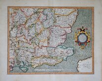
Gerard Mercator South East England 1630
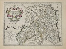
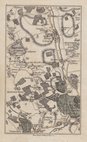
Cumberland Northumberland Durham 1639
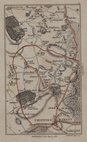
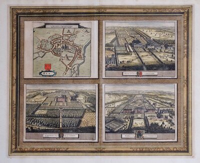
Hertfordshire Part 1766
Essex Part Chapman and Andre 1777
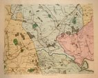
Essex Part Chapman and Andre 1777
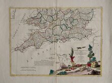
Southern Britain Zatta 1778
Kings Langley 1786
Barnet 1786

£150 Alfred Taylor Pratts Plan of the North
Ref: 4041gb
Add to
basket
Thanks,Your Product Has Been Added To Basket

46x58 cm
PRATTS HIGH TEST PLAN of THE NORTH Moor, Mountain and Lake District
A·E·TAYLOR·32
Pictorial colour printed map drawn by Alfred Edward Taylor (1887-1895) issued by Pratt's Motor Oil Company as promotional advertising. Description of the main places on the map by S.P.B. Mais - Stuart Petre Brodie Mais (1885-1975) verso.
Inset plan: A Plan of the ISLE OF MAN
Describing the maps, S.P.B. Mais writes, "I have seldom, if ever, seen a happier blending of the artist and wit in a cartographer. They are jolly, they are informative, they are original, and they have a magic enticing quality about them..."
Nicks to bottom edge but well away from the printed border, a very good clean example on heavy paper with a single centrefold only.
Quick Links

Town Plans

Folding Maps
×