
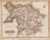
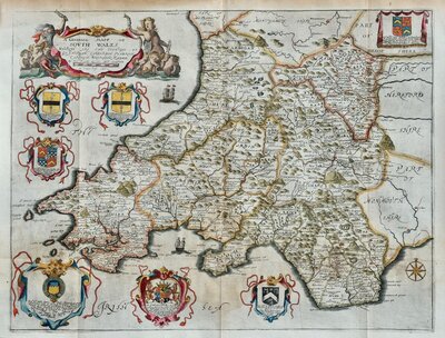
South Wales
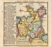
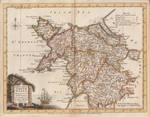
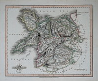
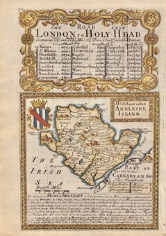
North Wales
( Page 1 of 2 )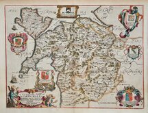
Richard Blome 1673
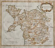
Robert Morden 1695
Thomas Badeslade 1742
Joseph Ellis 1773
John Cary 1793
John Cary 1809
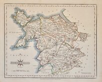
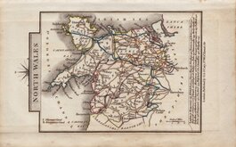
Samuel John Neele 1812
John Cary 1822


25x20 cm
NORTH WALES. | Neele Sculpt. Strand. | Published by James Cundee Albion Press London Jany 1.1812.
Drawn and engraved by Samuel John Neele, this series were based on John Cary's 'quarto' maps of 1793. The early publication of this series is complex with loose issues and parts issues for many counties from about 1812. The first main publication containing the complete set of county maps was The New British Traveller; or, modern panorama of England and Wales...By James Dugdale... published about 1818 by J & J Cundee. The map appeared in only three further issues under different titles in 1819 and 1820.
This map of North Wales has several printers creases to top edge. Some spotting. Engraver's imprint faint.
Quick Links

Whole of Wales
Welsh Counties
×