
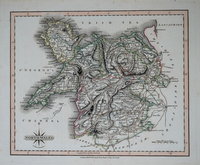
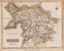
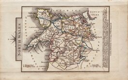
Welsh Counties
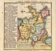
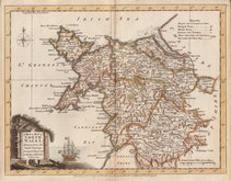
North Wales
( Page 1 of 2 )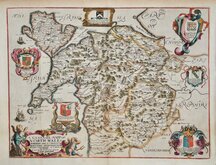
Richard Blome 1673
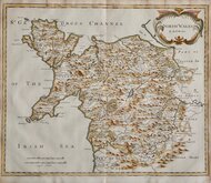
Robert Morden 1695
Thomas Badeslade 1742
Joseph Ellis 1773
John Cary 1793
John Cary 1809
Samuel John Neele 1812
John Cary 1822


45x34 cm
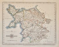
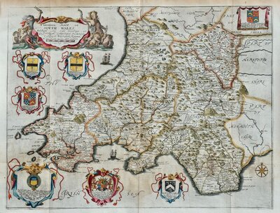
A GENERALL MAPP OF NORTH WALES WHEREIN ARE YE. COUNTYS. OF MONTGOMY; MERIONETH; DENBIGH; FFLINT CARNARVAN & YE ISLE OF ANGLESEY By RIC' BLOME. BY HIS MAty COMAND
Produced and published by Richard Blome (1635-1705) bookseller, mapseller and publisher, printer to King William III, and cosmographer to Queen Anne, in Britannia: or, A Geographical Description of the Kingdoms of England, Scotland and Ireland...London, Printed by Tho. Rycroft for the Undertaker, Richard Blome. 1673.
This series of maps were produced quickly, following an announcement in the press by John Ogilby, of his intention to produce a new work of county maps, road maps and town plans entitled Britannia. Richard Blome shamelessly used the same title for his work, commencing publication in 1673. Blomes' maps are crudely engraved, typical of journeyman work, and mostly copied from those of John Speed, containing no new information. The printing was of a higher standard, being carried out by Thomas Roycroft, printer to King Charles II.
The edition was probably on sale for four years. There was a re-issue of 1677 made up by John Wright from remaindered sheets.
This plate of North Wales was larger than the county maps and was folded into the work on publication. This map has some browning and minor nicks to the top paper edge but has good margins and is a very good example in fine hand colour.
Quick Links
South Wales

Whole of Wales
×