
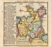
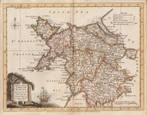
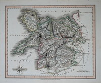
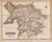
Welsh Counties
North Wales
( Page 1 of 2 )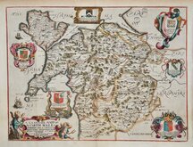
Richard Blome 1673
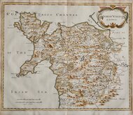
Robert Morden 1695
Thomas Badeslade 1742
Joseph Ellis 1773
John Cary 1793
John Cary 1809
Samuel John Neele 1812
John Cary 1822


26x21 cm
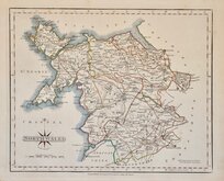
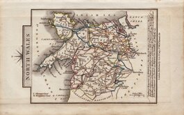
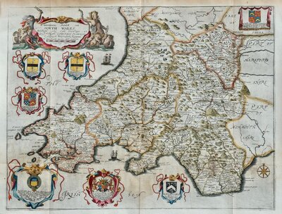
NORTH WALES
By JOHN CARY Engraver.
London: Publish'd Jan.y1.1793 by J Cary, Engraver & Map seller Strand.
Copper engraving by John Cary (1754-1835). This series of Maps, commonly known as his 'quarto' series, were published in Cary's New and Correct English Atlas and were justifiably popular, running to many editions from 1787 until about 1804. Worn plates were re-engraved extending the publication from 1808 until 1843 and lithographic transfers from the plates by later publishers continued publication until about 1876 giving a life of nearly 90 years for Cary's maps.
This example is from Cary's New and Correct English Atlas published in 1793. Original hand colour to map with later additions to sea, compass rose, and border. Good condition.
Quick Links
South Wales

Whole of Wales
×