
Welsh Counties
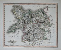
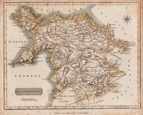
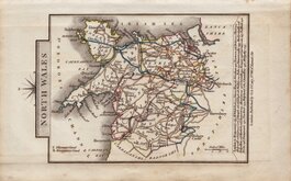
North Wales
( Page 1 of 2 )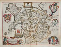
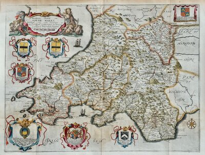
Richard Blome 1673
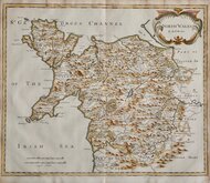
Robert Morden 1695
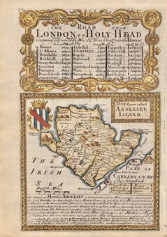
Thomas Badeslade 1742
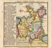
Joseph Ellis 1773
John Cary 1793
John Cary 1809
Samuel John Neele 1812
John Cary 1822


25x20 cm
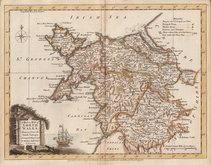
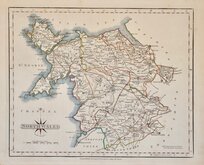
NORTH WALES. | Eng.d by R.Scott | Published by Arch.d Fullarton & C.o Glasgow.
Steel engraving by Robert Scott first published in Bell's New and Comprehensive Gazetteer in 1833. The text for the gazetteer was largely copied from Lewis' Topographical Dictionary of 1831 and in 1839 Lewis obtained an injunction against Bell for plagiarism and the work was withdrawn. Archibald Fullarton, the publisher of Bell's Gazetteer republished the maps with new text in The Parliamentary Gazetteer from 1840 until 1849 but the maps for Wales were replaced with larger maps engraved by Walker. The maps from this first issue are therefore quite scarce.
Includes vignette of Conway Castle. A little light spotting but otherwise a good example in fine hand colour.
Quick Links
South Wales

Whole of Wales
×