
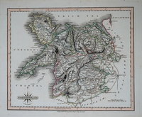
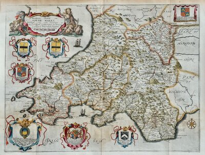
Whole of Wales
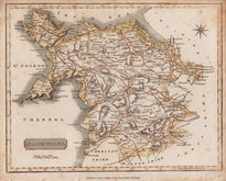
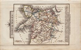
North Wales
( Page 1 of 2 )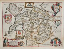
Richard Blome 1673
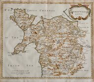
Robert Morden 1695
Thomas Badeslade 1742
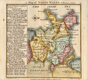
Joseph Ellis 1773
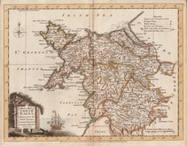
John Cary 1793
John Cary 1809
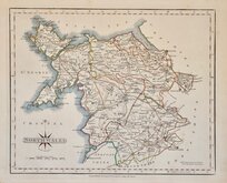
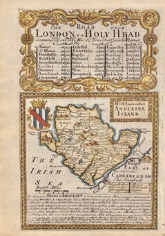
Samuel John Neele 1812
John Cary 1822


64x40 cm
NORTH WALES | BY J.& C.WALKER
Pair of fine large engraving by brothers John & Charles Walker, engravers of the maps for Greenwood's Atlas of the Counties of England published 1834 and this series of maps, published in their British Atlas, were probably based on the same information.
Wales was engraved on four sheets with titles for North Wales and South Wales appearing on the western sections. Below the title is a list of parliamentary and statistical information followed by a translation of geographical and other terms from the Welsh language.
Hand coloured. Generous margins. Folds as usual. Repairs to splits at page edges not affecting maps.
Each map measures 32x40cm.
Price is for the pair of maps.
Quick Links

Welsh Counties
South Wales
×