
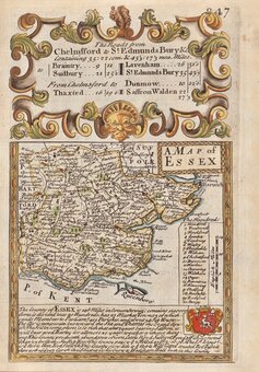
Essex Maps
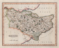
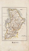
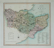
Kent Maps
( Page 1 of 4 )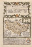
Emanuel Bowen 1720
Joseph Ellis 1773
Emanuel Bowen 1777
Eugene Henry Friex 1777

John Cary 1791
Benjamin Baker 1792
Robert Butters 1803
Charles Smith 1804


25x20 cm
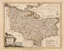
ISLE OF THANET Insula rotunda Tanatos. quam circuit unda. Fertilis et munda. nulli est in orbe secunda.
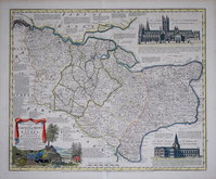
This series of decorative steel-plate engraved maps are commonly known by the name Thomas Moule as they were first issued from May 1830 in a series of parts of The English Counties Delineated written by him. The engraving of the plates was shared between James Bingley, W. Schmollinger and John Dower. Confusingly the engravers names were changed after the first issue on a number of plates.
Following the parts issue, the first complete edition of The English Counties Delineated was published by George Virtue in 1837 several editions followed until 1839 and the plates were extensively used thereafter by George Virtue and his son James Sprent Virtue in A Complete and Universal Dictionary of the English Language by the Rev. James Barclay until 1857.
The maps were frequently updated to reflect the rapidly developing railway network.
Includes vignettes of Ramsgate Harbour and North Foreland Light House.
Find later hand colour.
Quick Links
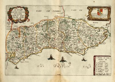
Sussex Maps
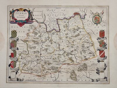
Surrey Maps
×