
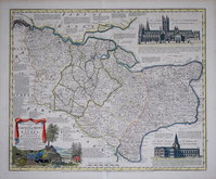
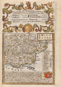
Essex Maps
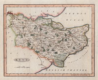
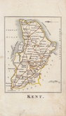
Kent Maps
( Page 1 of 4 )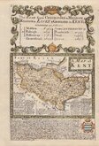
Emanuel Bowen 1720
Thomas Badeslade 1741
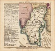
Joseph Ellis 1773
Emanuel Bowen 1777
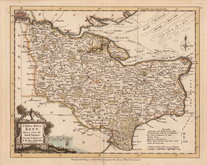
Eugene Henry Friex 1777

John Cary 1791
Benjamin Baker 1792
Robert Butters 1803


70x50 cm
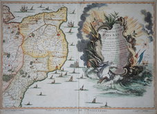
CARTE'S | DES PROVINCES DES | PAYS BAS | Contenant | ... | ... | ... | ... | ... | DRESE'E | Sur les Memoires de Eugene Henry Friex et augmente | sur les Observations les plus nouvelles. | Ces Cartes si exactes et si detaille'es sout tres | necessaires pour Campements et Marches des arme'es | elles sont toutes sur une meme echelle | et peuvent s'assembles en | une meme Carte | 1744 | A PARIS | Chez Crepy, rue S.Jacques | pres la rue de la Parchemine | rue a S.Pierce.
Depicting part of Kent alongside the title cartouche for the first page of the large 15 sheet map of the southern part of the Netherlands by Eugene Henry Friex published by Crepy, Paris 1744.
Old repair to thinning at top centrefold otherwise a good decorative hand coloured example of the first sheet of this large wall map.
Quick Links
Sussex Maps
Surrey Maps
×