
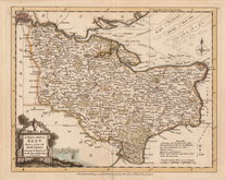
Sussex Maps
Kent Maps
( Page 1 of 4 )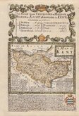
Emanuel Bowen 1720
Joseph Ellis 1773
Emanuel Bowen 1777
Eugene Henry Friex 1777

John Cary 1791
Benjamin Baker 1792
Robert Butters 1803
Charles Smith 1804


24x19 cm
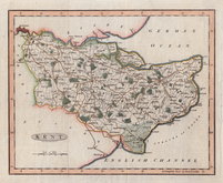
KENT. | ENGRAVED BY SIDY. HALL.
This series of maps first appeared in Gorton's Topographical Dictionary issued in parts over a three year period from 1830, the complete work published in 1831 and 1833. They were also issued as individual folding maps by Chapman and Hall in 1832. The maps then appeared, intaglio printed, in A New British Atlas…, Sidney Hall's British Atlas…, A Travelling County Atlas… and other variations on the title, from 1834 until 1857 and then by lithographic transfer until c.1888. It's popularity due in part to Hall's continuous updating of the plates to include the latest railways.
Very good clean hand coloured example of the map of Kent from the second printed state with amended address and date in the imprint and with the division of the county into east and west published in 1833 and 1834 by Chapman and Hall.
Quick Links
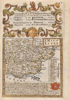
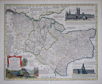
Essex Maps
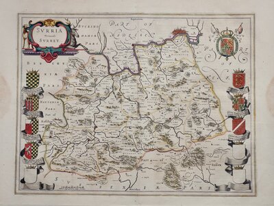
Surrey Maps
×