
Dorset Maps
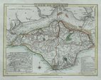
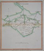
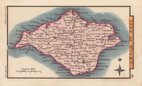
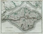
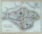
Isle of Wight
( Page 1 of 2 )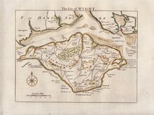
Thomas Read 1769
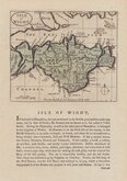
John Seller 1784
Cole & Roper 1805
Nathaniel Coltman 1809
Sidney Hall 1820
John Cary 1821
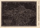
Joshua Archer 1833
Sidney Hall 1834


25x20 cm
ISLE OF WIGHT
ENGRAVED BY S. HALL
Engraved by Sidney Hall (fl.1818-1860), this series of maps first appeared in Gorton's Topographical Dictionary issued in parts over a three year period from 1830, the complete work not published again after 1833. The maps were then issued in A New British Atlas…, Sidney Hall's British Atlas…, A Travelling County Atlas… and other variations on the title, published by Chapman and Hall from 1834 until c.1888. It's popularity due in part to regular updates to the plates to include the latest railway developments. The maps were intaglio printed until c.1858 and then by lithographic transfer. The engraver, Sidney Hall is no relation to the joint founder William Hall (with Edward Chapman) of the publishing firm Chapman and Hall, well known as publishers of the works of Charles Dickens.
This example, in original hand colour has small margins and lacks the imprint but is probably from an issue of The British Atlas
Quick Links

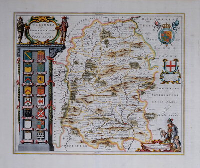
Wiltshire Maps

Hampshire Maps
×