
Hampshire Maps
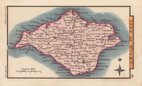
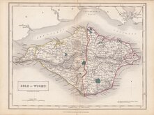
Isle of Wight
( Page 1 of 2 )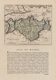
John Seller 1694 [1784]
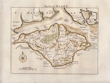
Thomas Read 1746 [1769]
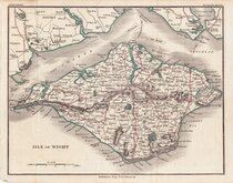
John Cary 1798 [1821]
George Cole 1805
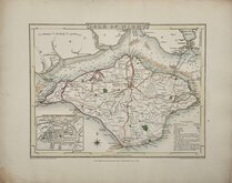
Nathaniel Coltman 1806 [1809]
Sidney Hall 1820
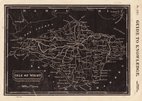
Joshua Archer 1833
Selina Hall 1833 [c.1852]


26x30 cm
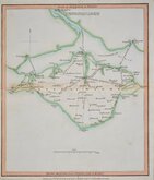
LAURIE & WHITTLE ROAD MAP
Roads in the ISLE OF WIGHT.
(ROADS MEASURED FROM NEWPORT; ISLE OF WIGHT)
Published 12th. Feby. 1806, by LAURIE & WHITTLE, No.53 Fleet Street London.
Prepared by Nathaniel Coltman for publication in Laurie and Whittle's New Travellers Companion...in England Wales and Scotland...London, Laurie & Whittle, 1806.
This map is unsigned but other maps in this series were engraved by Joseph Bye (1779-1817), Benjamin Smith (fl.1799-1817), and Edward Jones (fl. 1799-1818) who were in partnership as "Jones Smith & Bye" or "Jones, Smith & Co." 1801-1804.
Light stain from pasted guard but a good example from the third edition corrected to 1809.
Quick Links


Dorset Maps

Wiltshire Maps
×