
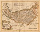
Staffordshire Maps
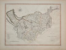
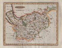
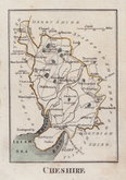
Cheshire Maps
( Page 1 of 3 )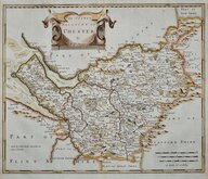
Robert Morden 1695
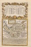
Emanuel Bowen 1720
Joseph Ellis 1765 [1773]
John Cary 1789 [1805]
Benjamin Baker 1791
Robert Butters 1803
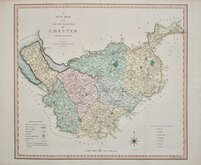
Charles Smith 1804
Henry Cooper 1808


31x24 cm
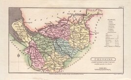
FIRST SERIES OF COLOUR PRINTED COUNTY MAPS.
CHESHIRE
W. Hughes.
First published in The National Gazetteer; a topographical dictionary of the British Islands. Compiled from the latest and best sources, and illustrated with a complete county atlas, and numerous maps. London, Virtue & Co., 1863-1868. This was a publication issued in parts, the complete work being issued from 1868. The latest and best sources quoted in the title were the maps produced by the Ordnance Survey (Old series One Inch). The plates were not used for direct intaglio printing and the lithograph is overprinted in brown & blue and were the first series of county maps to be colour printed.
The work was re-issued a number of times with updates to the rapidly developing railway network until 1870.
Quick Links


Road Maps

Lancashire Maps
×