
Road Maps
Cheshire Maps
( Page 1 of 3 )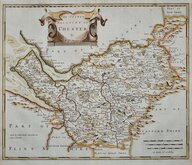
Robert Morden 1695
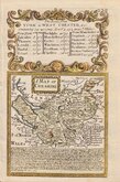
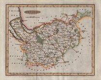
Emanuel Bowen 1720
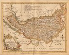
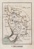
Joseph Ellis 1765 [1773]
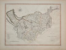
John Cary 1789 [1805]
Benjamin Baker 1791
Robert Butters 1803
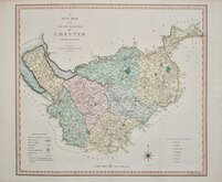
Charles Smith 1804
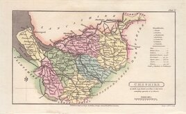
Henry Cooper 1808


12x19 cm
FROM THE "OWEN & BOWEN" POCKET ROAD BOOK BRITANNIA DEPICTA
A MAP OF CHE-SHIRE
Map set below a decorative cartouche containing the title and details of the roads from York to Chester.
Road map of the commencement of the route from York to Chester verso.
Engraved text descriptions below the county map and alongside and below the road map verso.
Engraved by Emanuel Bowen (1693?-1767) and published in the pocket road book Britannia Depicta by Thomas Bowles from 1720 to 1764. The county maps were based on Robert Morden's small series published in The New Description and State of England... from 1701.
Good example in fine hand colour both sides.
(For full description of the road, go to category: Maps > British Isles > RoadMaps > Owen & Bowen.)
Quick Links


Staffordshire Maps

Lancashire Maps
×