
Road Maps
Cheshire Maps
( Page 1 of 3 )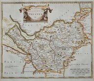
Robert Morden 1695
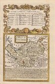
Emanuel Bowen 1720
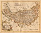
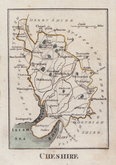
Joseph Ellis 1765 [1773]
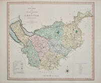
John Cary 1789 [1805]
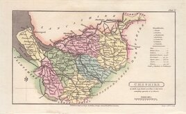
Benjamin Baker 1791
Robert Butters 1803
Charles Smith 1804
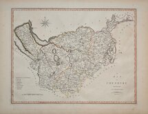
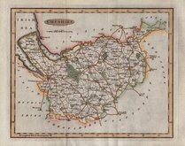
Henry Cooper 1808


18x10 cm
MINIATURE MAP IN ORIGINAL WASH COLOUR.
CHESHIRE
Cooper del.t et sculp.
Published Jan.y 1, 1808, by R.Philip, Bridge Street, Blackfriars, London.
Copper engraving by Henry Cooper (fl.1804-1819) published in Benjamin Pitts Capper's Topographical Dictionary by Richard Phillips.
Good clean example in original hand colour.
SPECAIL OFFER MOUNT OPTION AVAILABLE AT CHECKOUT FOR UK DELIVERY.
Quick Links


Lancashire Maps

Staffordshire Maps
×