
Lancashire Maps
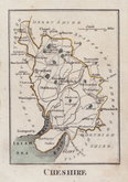
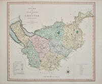
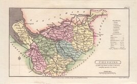
Cheshire Maps
( Page 1 of 3 )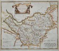
Robert Morden 1695
Emanuel Bowen 1720
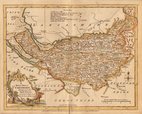
Joseph Ellis 1765 [1773]
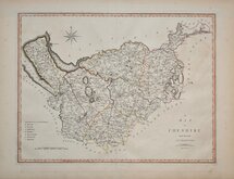
John Cary 1789 [1805]
Benjamin Baker 1791
Robert Butters 1803
Charles Smith 1804
Henry Cooper 1808


23x19 cm
ORIGINAL WASH COLOUR.
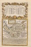
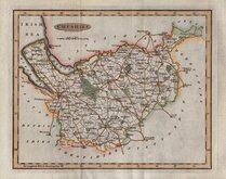
CHESHIRE
Drawn & Engraved by J.Archer, Pentonville London
Drawn and engraved by Joshua Archer for publication in Curiosities of Great Britain, England and Wales Delineated…by Thomas Dugdale.
The work was first published by L. Tallis in 1842 and was republished a number of times until 1860. The maps also appeared in The Universal English Dictionary…by the Rev. James Barclay and finally in Tallis's topographical dictionary of England & Wales in 1860.
This example of the map of Cheshire with the addition of a number of railways is from the 1860 edition of Dugdale's England and Wales Delineated.
Good example in original wash hand colour.
Quick Links


Staffordshire Maps

Road Maps
×