
London Maps
Waterways & Railways
( Page 1 of 2 )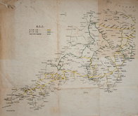
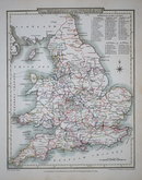
Railways Anonymous 1950
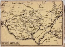
Southall's Railway Map South Wales 1900
John Roper 1809
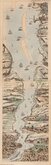
Thames London Ramsgate 1830
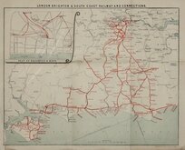
London Brighton Railway 1910
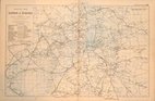
G W Bacon 1900
James Baker Thames 1802
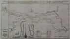
Canal, Leeds to Selby 1774


49x32 cm
RAILWAY MAP | OF | LONDON & SUBURBS | SHOWING | EACH COMPANY'S LINE | IN A SEPARATE CHARACTER. | SCALE - 1 INCH TO A MILE
2 colour Lithograph printed map of Rail and Underground Tube lines in London and suburbs by G W Bacon published in his Popular Atlas of the British Isles.
Extent: Alexandra Palace to Beckenham Junction & Hounslow to Barking.
Good condition.
Quick Links


Town Plans

Road Maps
×