
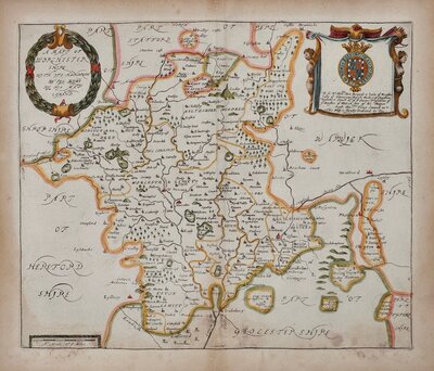
Worcestershire Maps
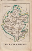
Warwickshire Maps
( Page 1 of 3 )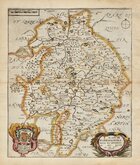
Richard Blome 1673
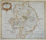
Robert Morden 1695
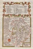
Emanuel Bowen 1720
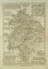
Emanuel Bowen 1770
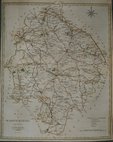
John Haywood 1788
John Cary 1793
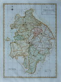
Robert Butters 1803
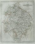
John Cary 1805


15x23 cm
This series of county maps are uniquely engraved on a woodblock and the ink applied to the block leaving the engraved lines and letters free of ink resulting in a white image on a black ground. The maps appeared in The Guide to Knowledge. Edited by W. Pinnock, a weekly production, published from 1833 by W. Edwards. The maps were later printed more conventionally by lithographic transfer and published by Thomas Johnson in Johnson's Atlas of England in 1847 & 1863.
Good example from Pinnock's publication.
Harvey & Thorpe Printed Maps of Warwickshire ref. 89
Quick Links
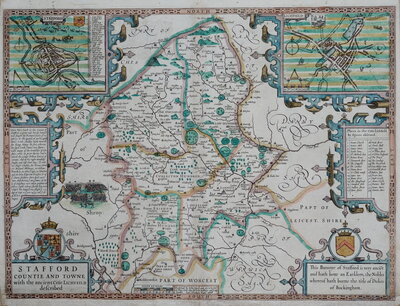
Staffordshire Maps
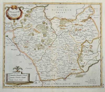
Leicestershire Maps
×