
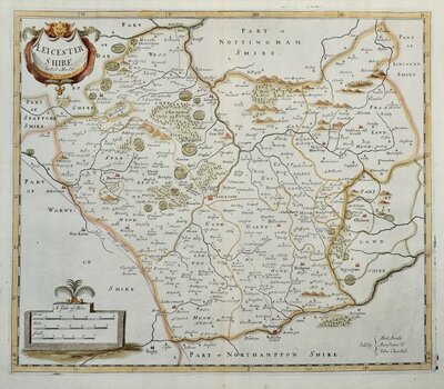
Leicestershire Maps
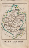
Warwickshire Maps
( Page 1 of 3 )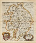
Richard Blome 1673
Robert Morden 1695
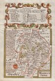
Emanuel Bowen 1720
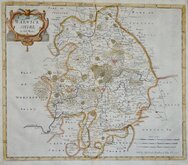
Thomas Badeslade 1741
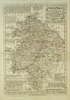
Emanuel Bowen 1770
John Haywood 1788
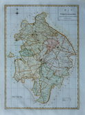
John Cary 1793
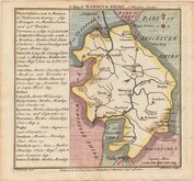
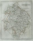
Robert Butters 1803


23x34 cm
The final atlas on which Emanuel Bowen was involved; Atlas Anglicanus... first published 1767.
Finely engraved plates reduced from The Large English and The Royal atlases.
The publication of reduced versions of the Large English series was an attempt by the publishers to recoup some of the losses incurred in the production of the large maps but neither of the reduced versions were successful and copies today are rare.
Fine uncoloured example from the second isssue of 1777 with Thomas Kitchin's imprint added outside the bottom border.
Library stamp verso.
Harvey and Thorpe Printed Maps of Warwickshire ref. 41 (ii)
Quick Links
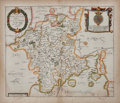
Worcestershire Maps
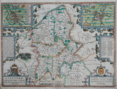
Staffordshire Maps
×