
Waterways & Railways
Town Plans
( Page 1 of 13 )
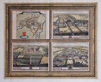
Cambridge, King's St. John's & Trinity
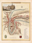
Ely 1729
Durham 1804
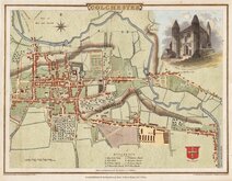
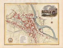
Colchester 1805
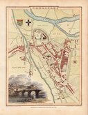
Carlisle 1805
Derby 1806

Norwich 1807
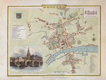
Bedford 1807


19x14 cm
PLAN OF CAMBRIDGE, 1830.
S.I.Neele sculpt. 352, Strand, London.
Engraved by Samuel John Neele (1758-1824) for publication in A description of the University, town and county of Cambridge... J. Deighton, 1796. The map appeared with revisons and updates in several subsequent Cambridge histories. There are a number of changes to this plan from the 1796 edition, most notably the addition of Downing College, founded in 1800, on the area formerly called The Leas.
Remargined top edge. Neat hand colour.
Quick Links

Road Maps

London Maps
×