
London Maps
Town Plans
( Page 1 of 13 )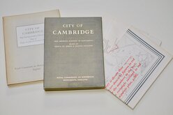
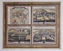
Cambridge, King's St. John's & Trinity
Ely 1729
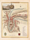
Durham 1804
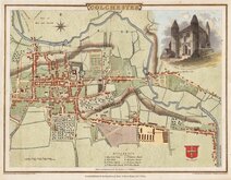
Colchester 1805
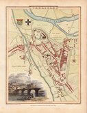
Carlisle 1805
Derby 1806

Norwich 1807
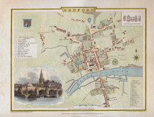
Bedford 1807


25x17 cm
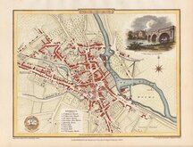
BOLTON
Surveyed in 1824, by Geo.e Piggot, Bolton. | Engraved by Sid.y Hall, Bury Str.t Bloomsb.y
Surveyed, 1824 for "Baines' Lancashire", published by W. Wales & Co. Castle Street, Liverpool.
Steel engraving issued with the History, Directory and Gazetteer of the County Palatine of Lancaster by Edward Baines published by William Wales & Co. 1824-5.
Sidney Hall (1788?-1831), began work as an engraver about 1809 with a map of the Austrian Dominions for William Faden in 1809. He was in partnership with Michael Thomson (fl.1809-1815) in 1814. Hall was a pioneer in engraving on steel producing steel engraved maps from from 1821. He married Selina Price in 1821 and died early in 1831 aged forty-two. Selina carried on his engraving business signing her maps "S. Hall" which has caused some confusion in carto-bibliographies.
Some light spotting in margins but otherwise clean and a strong dark impression in neat hand colour.
Quick Links


Road Maps
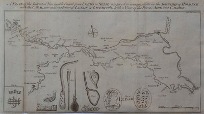
Waterways & Railways
×