
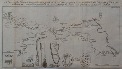
Waterways & Railways
Town Plans
( Page 1 of 13 )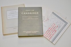
Cambridge, King's St. John's & Trinity
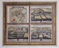
Ely 1729
Durham 1804
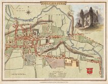
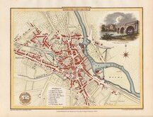
Colchester 1805
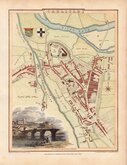
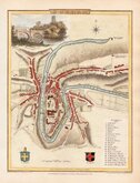
Carlisle 1805
Derby 1806

Norwich 1807
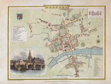
Bedford 1807


25x18 cm
LANCASTER
Engraved by Franks & Johnston. | J. Atkinson Surveyor.
Surveyed, 1824 for "Baines' Lancashire", published by W. Wales & Co. Castle Street, Liverpool.
Steel engraving by Franks & Johnston from a survey by J. Atkinson issued with the History, Directory and Gazetteer of the County Palatine of Lancaster by Edward Baines published by William Wales & Co. 1824-5.
James Henry Franks (fl.1820-1852) and Frederick John Johnson (fl.1824-1833) formed the partnership and traded as Franks & Johnson from about 1824. Both were in Wakefield prison for debt in 1833 and the partnership ended. Johnson was not recorded as an engraver again but Franks continued as an engraver, from premises in Wakefield and Sheffield until 1852 notably producing maps of Yorkshire and Yorkshire towns for William White's Yorkshire directories. His death recorded at Sheffield in 1857.
Some minor browning to paper edges and light spotting in margins but otherwise clean and a strong dark impression in neat hand colour.
Quick Links

London Maps

Road Maps
×