
Leicestershire Maps
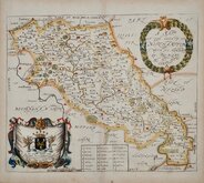
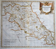
Northamptonshire Maps
( Page 1 of 3 )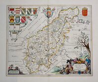
Jan Blaeu 1645 [1648]
Richard Blome 1673
Robert Morden 1695
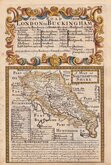
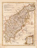
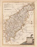
Emanuel Bowen 1720
Thomas Read 1744 [1769]
Thomas Kitchin 1763
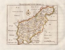
Joseph Ellis 1765 [1773]
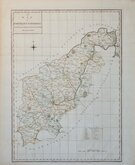
John Haywood 1788


12x18 cm
FROM "OWEN & BOWEN'S" ROAD BOOK. NORTH TO THE RIGHT.
A MAP OF NORTHAMPTON SHIRE
Map set below a decorative cartouche containing the title and details of the road from London to Buckingham.
Road map of the first of the route from London to Buckingham verso.
Engraved text descriptions below the county map and alongside and below the road map verso.
Engraved by Emanuel Bowen (1693?-1767) and published in the pocket road book Britannia Depicta by Thomas Bowles from 1720 to 1764. The county maps were based on Robert Morden's small series published in The New Description and State of England... from 1701. Northamptonshire is engraved with North to the right.
A good impressinon on strong paper in fine hand colour both sides.
Ref. Whitaker Printed Maps of Northamptonshire 169.
(For full description of the road, go to category: Maps > British Isles > RoadMaps > Owen & Bowen.)
Quick Links

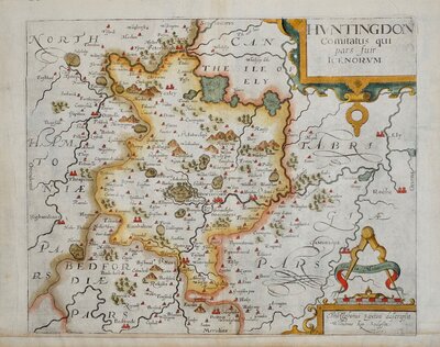
Huntingdonshire Maps

Warwickshire Maps
×