
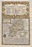
Wiltshire Maps
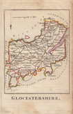
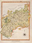
Gloucestershire Maps
( Page 1 of 3 )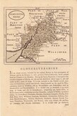
John Seller 1693 [c.1784]
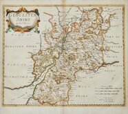
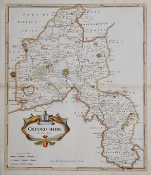
Robert Morden 1695
Emanuel Bowen 1720
Thomas Kitchin 1751 [c.1786]
Thomas Kitchin 1763
Joseph Ellis 1765 [1773]
Robert Butters 1803
Neele Samuel 1805


26x24 cm
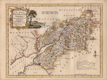
ORIGINAL HAND COLOUR SHOWING THE POOR LAW DIVISIONS
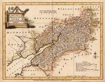
GLOUCESTERSHIRE
Drawn by R. Creighton | Engraved by J & C Walker.
DRAWN & ENGRAVED FOR LEWIS' TOPOGRAPHICAL DICTIONARY.
Copper engraving by J & C Walker from a drawing by Roger Creighton published in A Topographical dictionary of England…Samuel Lewis and Co. from 1831. The work achieved considerable success and was re-issued many times by Lewis until 1849. During this time the maps were amended and updated to include electoral information and the rapidly expanding railway network.
This map of Gloucestershire has the addition of the Poor Law Unions dating it at the 1844 publication.
A few brown spots verso with a few visible on the face of the map, but it is still a good example in original hand colour. Vertical fold as usual.
Quick Links

Oxfordshire Maps

Somerset Maps
×