
Wiltshire Maps
Gloucestershire Maps
( Page 1 of 3 )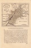
John Seller 1693 [c.1784]
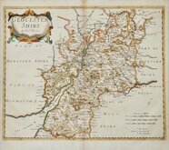
Robert Morden 1695
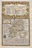
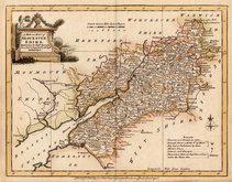
Emanuel Bowen 1720
Thomas Kitchin 1751 [c.1786]
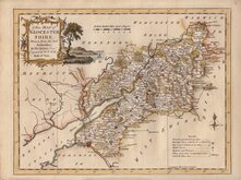
Thomas Kitchin 1763
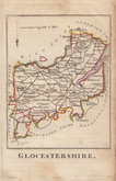
Joseph Ellis 1765 [1773]
Robert Butters 1803
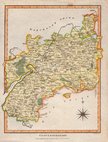
Neele Samuel 1805


21x28 cm
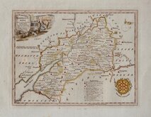
COLOUR PRINTED MAP
GLOUCESTERSHIRE
F.S.Weller, F.R.G.S.
WILLIAM MACKENZIE, LONDON, EDINBURGH & GLASGOW.
Colour lithograph printed map from an engraving by Francis Sidney Weller published by William Mackenzie in The Comprehensive Gazetteer of England and Wales from c.1891 - 1895.
Splits at centrefold margins repaired with archival tape verso.
Quick Links

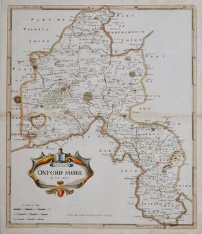
Oxfordshire Maps

Somerset Maps
×