
Hampshire Maps
Dorset Maps
( Page 1 of 3 )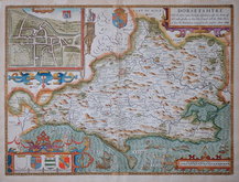
John Speed 1610 [1676]
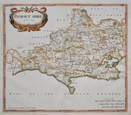
Robert Morden 1695
Robert Morden 1695
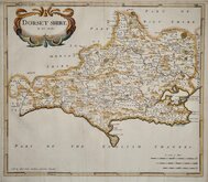
Owen & Bowen 1720
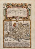
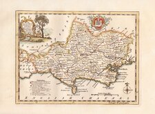
Robert Walker 1748
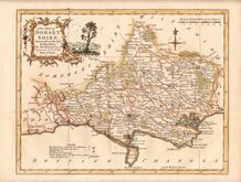
Thomas Kitchin 1750 [1786]
Thomas Kitchin 1764
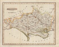
Benjamin Baker 1791


42x37 cm
FIRST FOLIO MAP TO SHOW ROADS. FIRST TO SHOW LONGITUDE IN DEGREES AND MINUTES OF TIME. FIRST EDITION.
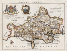
DORSET SHIRE By Rob: Morden
Sold by Abel Swale Awnsham and Iohn Churchil
Copper engraving produced by Robert Morden for publication in Edmund Gibson's translation of William Camden's Britannia first published by Abel Swalle and Awnsham & John Churchill in 1695. This is the first series of maps to mark longitude in minutes of time (top border) as well as in degrees (bottom border). For most counties longitude is based on the meridian of St. Paul's, London.
The work was republished in 1722, 1730, 1753 and, finally in 1772. There were a number of minor alterations to most plates during the early editions and they were substantially updated for the 1722 edition mostly with changes to place name spellings. Due to wear on the plates they were reworked for the 1753 edition.
Very good example from the first edition of 1695. A strong impression on clean paper in fine later hand colour. The paper edge runs close (3mm) to the plate edge at lower left corner, otherwise margins are good.
SPECIAL OFFER MOUNT AVAILABLE AT CHECKOUT FOR UK DELIVERY.
Quick Links


Somerset Maps

Wiltshire Maps
×