
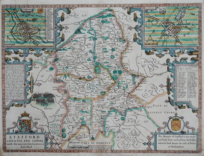
Staffordshire Maps
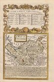
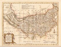
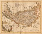
Cheshire Maps
( Page 1 of 3 )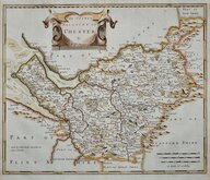
Robert Morden 1695
Emanuel Bowen 1720
Thomas Kitchin 1763
Ellis Joseph 1773
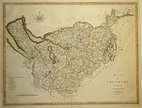
Benjamin Baker 1791
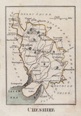
Robert Butters 1803
Smith, Charles. 1804
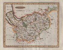
Cary, John 1805


28x22 cm
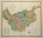
Colour lithograph printed map from an engraving by F. S. Weller published by William Mackenzie in The Comprehensive Gazetteer of England and Wales from c.1891 - 1895.
Quick Links

Road Maps
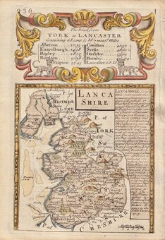
Lancashire Maps
×