
Road Maps
Cheshire Maps
( Page 1 of 3 )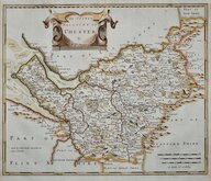
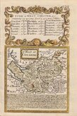
Robert Morden 1695
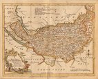
Emanuel Bowen 1720
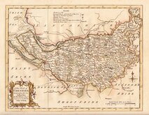
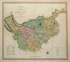
Thomas Kitchin 1763
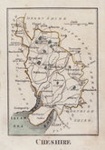
Ellis Joseph 1773
Benjamin Baker 1791
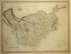
Robert Butters 1803
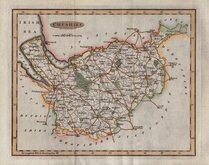
Smith, Charles. 1804
Cary, John 1805


23x19 cm
CHESHIRE
Drawn and Engraved under the direction of J. Briton
Engraved by W. Macstay from a Drawing by G. Cole.| to accompany the Beauties of England and Wales.
London: Published for the Proprietors, by Vernor and Hood Poultry, Feb.y.1.st 1805.
Engraved by W. Macstay, this is the only map in the series by this engraver of whom very little is known, probably William Macstay of Lion Street buried 10 Nov. 1824 at St. Mary Newington aged forty-four. The series, most drawn by G[eorge?] Cole, were intended to accompany The Beauties of England and Wales. The maps were not actually published with this work but first issued in parts as a separate series between 1804 and 1810 and first appearing in atlas form in The British Atlas published by Vernor Hood & Sharpe (& nine other publishers) in 1810. The maps were re-issued in several publications including Dugdale's Curiosities of Great Britain until 1843. Their final appearance was by lithographic transfer in Collins' railway and pedestrian atlas… published by Darton and Co. in 1858.
Later red line under Chester but still a fine example from the first edition of 1810 in original hand colour. Imprint dated Feb. 1st 1805.
Quick Links

Staffordshire Maps
Lancashire Maps
×