
Berkshire Maps
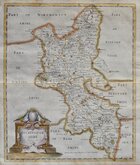
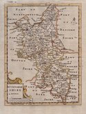
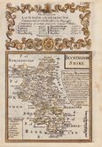
Buckinghamshire Maps
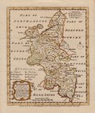
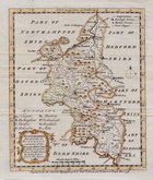
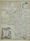
( Page 1 of 4 )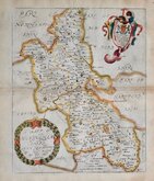
Richard Blome 1673
Robert Morden 1695
Robert Morden 1708
Emanuel Bowen 1720
Robert Morden 1753
Emanuel Bowen 1758
Emanuel Bowen 1758
Emanuel Bowen 1765


17x21 cm
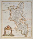
BUCKINGHAM | SHIRE | By Tho.s Kitchin Geog.
Copper engraving by Thomas Kitchin. This series of county maps of England and Wales were first published in The London Magazine at irregular intervals from 1747 to 1763. Buckinghamshire appeared in the issue for July 1748. Some of the maps from the series were later issued in England Displayed in 1769 - 70 but the complete series were re-issued with the imprints of Thomas Kitchin removed in publications by Alexander Hogg under various titles but most notably The Antiquities of England and Wales… or Hogg's Antiquities from 1786 until 1798.
Good hand coloured example from Hogg's Antiquities.
Quick Links

Bedfordshire Maps

Road Maps
×