
Berkshire Maps
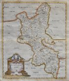
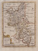
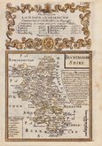
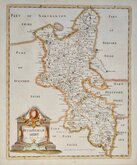
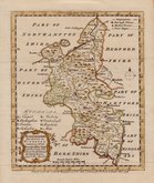
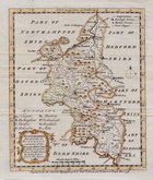
Buckinghamshire Maps
( Page 1 of 4 )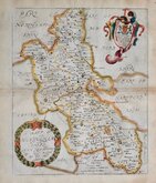
Richard Blome 1673
Robert Morden 1695
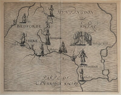
Robert Morden 1708
Emanuel Bowen 1720
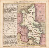
Thomas Badeslade 1741
Robert Morden 1753
Emanuel Bowen 1758
Emanuel Bowen 1758


15x15 cm
A Map of BUCKINGHAM SHIRE North West from London.
T. Badeslade delin. | W.H Toms Sculpt.
Published by the Proprietors T. Badeslade & W H Toms Sept.r 29th 1741.
Drawn by Thomas Badeslade (fl.1717-1744) and engraved by William Henry Toms (fl.1723-1761) for publication in Chorographia Britannia...W H Toms, London 1742. The early imprints on the map indicate that the venture began as a partnership between Badeslade and Toms but by the time of publication, W.H.Toms is named as the sole proprietor on the title page. Little is known of Thomas Badeslade, a surveyor, draughtsman and engineer, his works include surveys of the rivers Ouse, Thames, and Humber, several surveys and maps of the Fens, and many views of country houses. He died at Finnant, Montgomeryshire in 1744. William Henry Toms was born about 1701, son of Peter Toms, gentleman of the parish St. Margaret, Westminster. He was apprenticed to draughtsman, engraver and cartographer, John Harris (fl.1686-1730) on 30 April 1716. He became well established as engraver, printseller , publisher and stationer working from various addresses in Holborn, Ludgate Hill, and Fleet Street from 1733 to 1755. He is last recorded in March 1761 imprisoned in the King's Bench for debt. The pocket work Chorographia Britannia proved popular, running to several editions with a number of changes and additions to the plates within the first year and publication continuing until the end of the decade.
Minor repair to short split at bottom centrefold.
A very good hand coloured example of the map of Buckinghamshire from the first published state of the plate dated 1741 but first appearing in the atlas dated 1742 on the title page.
Quick Links

Bedfordshire Maps

Road Maps
×