
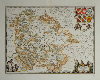
Herefordshire Maps
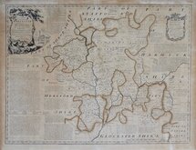
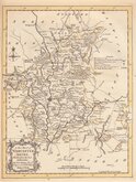
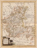
Worcestershire Maps
( Page 1 of 3 )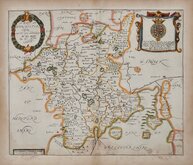
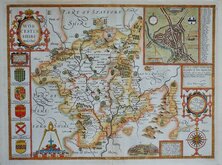
Richard Blome 1673
John Speed 1676
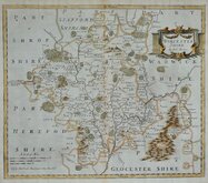
Robert Morden 1695
Owen & Bowen 1720
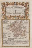
Thomas Badeslade 1741
Emanuel Bowen 1756
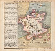
Thomas Kitchin 1764
William Fowler 1765


12x18 cm
A MAP of WORCESTER SHIRE.
Map set below the title and details of the road from Bristol to Worcester.
Engraved description of the county below the map.
Road map showing the first part of the road verso.
Engraved by Emanuel Bowen (1693?-1767) and published in the pocket road book Britannia Depicta by Thomas Bowles from 1720 to 1764. The county maps were based on Robert Morden's small series published in The New Description and State of England... from 1701.
Very good in neat later hand colour.
Quick Links
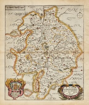
Warwickshire Maps
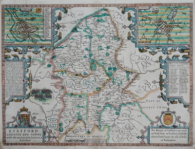
Staffordshire Maps
×