
Staffordshire Maps
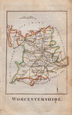
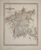
Worcestershire Maps
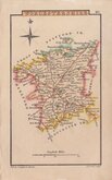
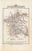
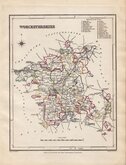
( Page 2 of 3 )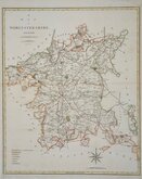
John Cary 1789 [1805]
Robert Butters 1803
John Cary 1808 [1809]
George Cole 1810
Samuel Neele 1819
Sidney Hall 1820
John Cary 1822
Roger Creighton 1831 [c.1842]


28x22 cm
COLOUR PRINTED LITHOGRAPH
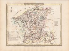
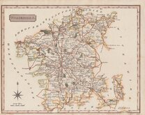
WORCESTERSHIRE
F.S.Weller F.R.G.S.
WILLIAM MACKENZIE. LONDON, EDINBURGH & GLASGOW.
Lithograph printed map from an engraving by Francis Sidney Weller (1849-1910), son of mapmaker Edward Weller (1819-1884), published by William Mackenzie in The Comprehensive Gazetteer of England and Wales issued in parts from c.1891-1895. The plate from which the lithograph was taken was never used for direct intaglio printing. The map is based on the New Series One Inch Ordnance Survey and has been overprinted in colours showing the county divided into the new administrative units.
Red tIck in top margin.
Quick Links


Herefordshire Maps

Warwickshire Maps
×