
London Maps
Town Plans
( Page 1 of 13 )
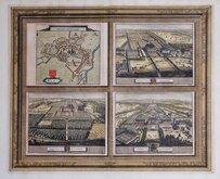
Cambridge, King's St. John's & Trinity
Ely 1729
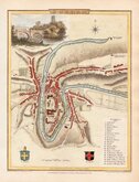
Durham 1804
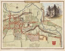
Colchester 1805
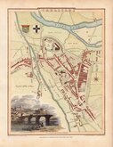
Carlisle 1805
Derby 1806

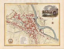
Norwich 1807
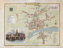
Bedford 1807


24x19 cm
NORTHAMPTON
Engraved by J. Roper from a drawing by G. Cole, | to accompany the Beauties of England and Wales.
London Published for the Proprietors, by Vernor & Hood, Poultry. Aug.t 1.st 1807.
This series of maps, mostly drawn by George Cole and engraved by John Roper (1771-1810), were intended to accompany The Beauties of England and Wales. The maps were not actually published with this work but first issued in parts as a separate series between 1804 and 1810 and first appearing in atlas form in The British Atlas published by Vernor Hood & Sharpe (& nine other publishers) in 1810.
Vignette of Northampton looking north engraved by Samuel Rawl (1775-1860) after a sketch by George Sidney Shepherd (1784-1862).
Very good example in neat later hand colour.
Quick Links

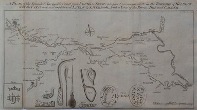
Waterways & Railways

Road Maps
×